Did you know that Belgium has over 2000 UAS geographical zones where drone operations are regulated or restricted? If you’re a drone operator in Belgium, you might have faced some challenges in flying your drone in these areas. But there’s good news: DJI, the world’s leading civilian drone manufacturer, has just updated its built-in GEO Zone map to align with the European standards for drones. This means that you can now fly your drone with more freedom and flexibility, as long as you follow the rules and regulations.
What is DJI’s Geo-Zone Update?
DJI has taken a significant step forward in aligning with European standards for drones by enhancing its built-in GEO Zone map. Previously, the geo-zones assigned by DJI and subsequent flight restrictions were based on their own risk-analysis. This update seamlessly integrates comprehensive geo-zone data, aligning with the European Aviation Safety Authority guidelines. The outcome? Enhanced geo-awareness for drone operators, unlocking newfound freedom in the skies as automatic restrictions in specific zones have been lifted.
How to use DJI’s Geo-Zone Map in Belgium?
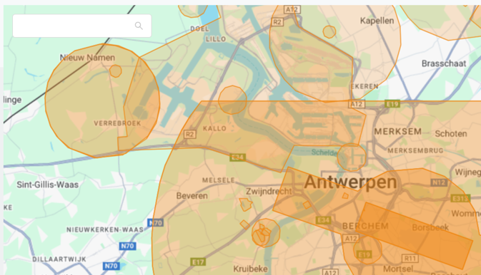
For Belgium, the UAS geographical zones have been uploaded from map.droneguide.be onto DJI’s platform. All geo-zones are now visualized as enhanced warning zones on the DJI Map. It’s essential to underline that while this update provides greater flexibility, drone operators won’t find the geo-zone activation status nor their access conditions directly on DJI’s map. To retrieve real-time and accurate information about activated geo-zones, operators still need to verify the status on map.droneguide.be. Therefore, a critical responsibility rests with drone pilots to adhere to access conditions and, when necessary, obtain flight authorization within these zones.
Benefits and Pitfalls of DJI’s Geo-Zone Update
Prior to this update, your DJI drone would simply not take off in an airport environment or other high risk areas such as prisons, nuclear facilities and soccer stadia. As DJI has now removed the automatic flight restrictions, this implies that all their drones are technically able to navigate any airspace at any time. Therefore, this may lead to an increase in unauthorized drone flights above sensitive areas in the near future. Detecting drone activities becomes crucial for organizations who want to monitor local airspace and protect their critical business assets. These organizations can turn to SkeyDrone to benefit from our reliable and affordable Drone Detection as a Service solution to help them monitor their local airspace and detect any unauthorized or malicious drone activities. If you want to learn more about our service, contact us today.